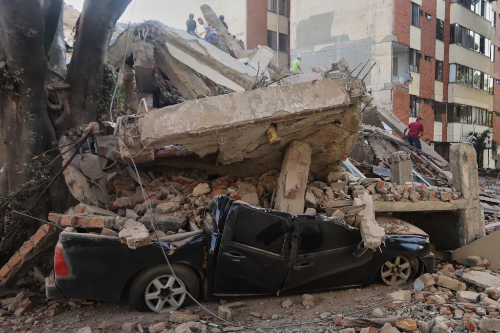
The quake occurred at 7:34 in the morning and had a depth of over 80 kilometers.
The Colombian Geological Service (SGC) located the epicenter near San José del Palmar, in the Chocó department, although the tremor was strongly felt in cities like Cali, Manizales, Pereira, Armenia, Medellín, and Bogotá.
The Coffee Axis suffered significant damage. In Manizales, there were collapsed buildings and homes, while Pereira experienced major infrastructure damage, including at the Matecaña International Airport. Cali also reported numerous affected structures.
Authorities declared a national disaster and activated rescue teams to locate possible survivors. Several airports and roads were closed due to the risk of further landslides and collapses.
The earthquake, considered the most powerful in the area since the devastating quake of 1999, was also felt in Ecuador, Panama, and Venezuela. The Colombian government urged the population to rely only on official statements due to the spread of fake news.